

SmartMaps: your professional mapping solution
A visual compass for the world
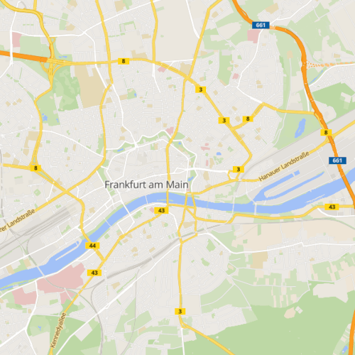
SmartMaps is your powerful and globally usable map basis for your industry-specific requirements. Inform your customers and prospects about location data, business data or socio-demographic data on the web, via internal applications or in an app. Choose from different map styles and benefit from functions such as our automatic dark mode detection. Thanks to our retina tiles the map always adapts automatically to the resolution of the respective display device. Find here references to SmartMaps.
Discover our map profiles
Worldwide. Powerful. Detailed precision.
Discover the many features of our platform such as the worldwide autocomplete, the multilingualism, the interactive globe view and the 3D representation of the terrain. Click and drag with the right mouse button to tilt and rotate the map, or drag with two fingers on mobile to adjust the perspective. In the lower right area, you can switch between different map styles.
Individual map presentation
Unlimited possibilities
Experience limitless design possibilities with SmartMaps' new vector-based map display. Customise your maps by changing symbols, colours and markers to suit your needs. This high level of flexibility and adaptability to different use cases allows you to create map content that perfectly matches your brand identity.
Multilingual maps
Internationalization
With SmartMaps multilingual maps, you can optimize the map experience and easily reach a global audience. You can now dynamically display map content in your users' preferred language, based on their device and browser settings. This feature makes map content easier to understand and significantly reduces language barriers.
Globe view
A new map perspective
Most of the maps we see on the Internet are flat, but the potential of map display goes far beyond that. With the introduction of the new globe view, you can experience the world in a whole new way. Navigate freely around the globe and explore countries, continents, and other geographic features from different angles.
Digital terrain data
A realistic 3D experience
Bring your maps to life with SmartMaps and the new 3D terrain data. Instead of limiting yourself to two-dimensional maps, you can now visualize elevation profiles, terrain features, mountain ranges and valleys in impressive detail. This three-dimensional representation improves orientation and provides an immersive, realistic mapping experience.
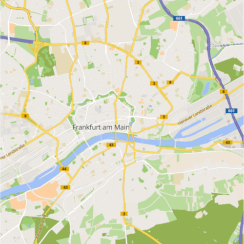
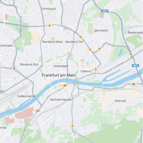
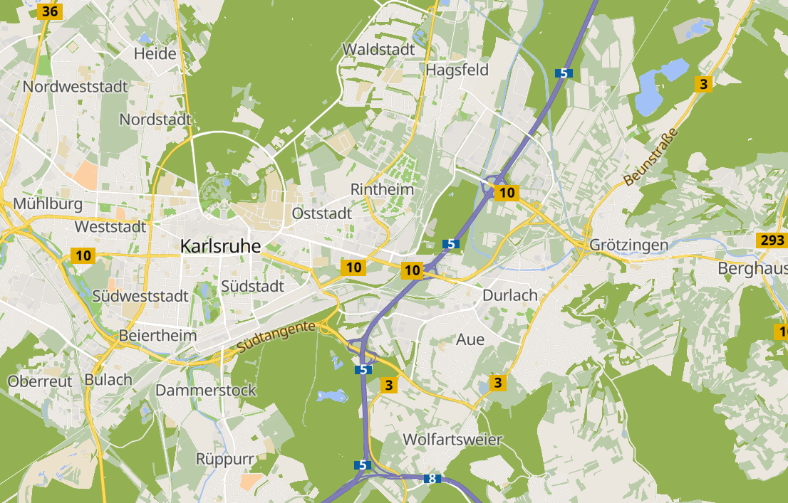
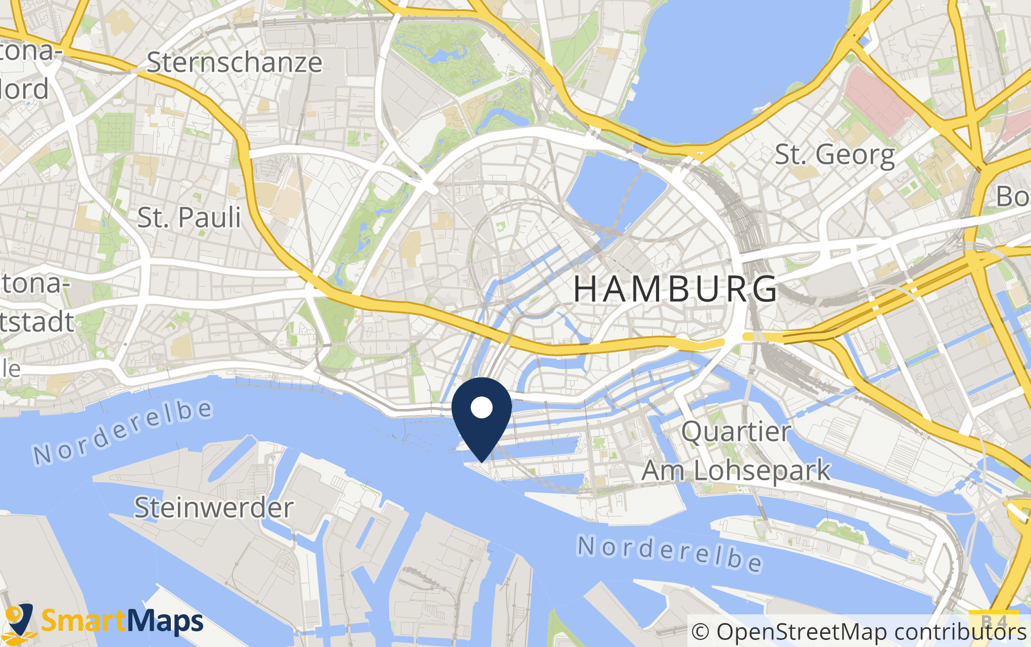
High-quality map styles for every application
Choose from different map styles with a single click
Accessible
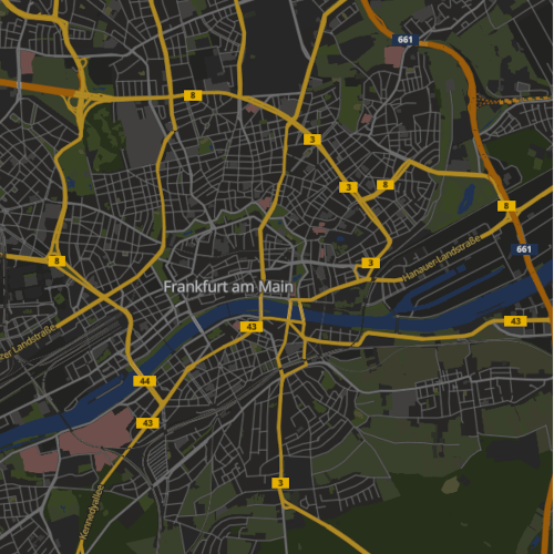
Dark
Essential
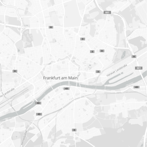
Grey
Light
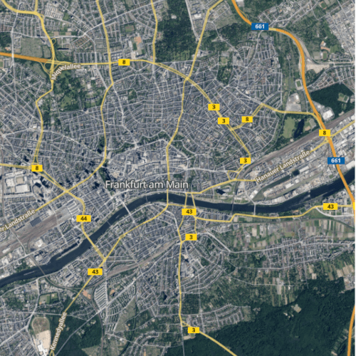
Satellite
Accessible map solutions
Ready to go with SmartMaps
The new German Accessibility Enhancement Act (BFSG) will come into effect on June 28, 2025, and SmartMaps already offers a specially adapted map profile for people with color vision impairments, such as red-green deficiency. In addition, language is automatically recognized and translated via the web browser to overcome language barriers. Improved contrast and larger labels also make it easier to navigate through the map platform.
Static maps for impactful presentation
Print and online excellence
Effortlessly create impactful static maps with SmartMaps, ideal for both print and online materials. Present your locations, business details, or demographic data with clarity and style. Select from various high-resolution retina tiles to enhance your marketing materials and captivate your customers.
Quick and easy integration
Elevate your mapping experience
Complex modifications are not required to integrate SmartMaps into your existing system architecture. You will receive your individual API key from us to seamlessly integrate the maps into your existing applications. To learn more about our map functionality like autocomplete and geocoding, see our comprehensive documentation.

Let's unlock your mapping potential together
Your success is our priority - Connect with us now
Have questions or seeking personalized guidance on our SmartMaps platform? I'm here to help. Contact me today for expert advice and support in achieving your goals with our cutting-edge mapping solutions.

Christopher Schmitt
Maps-Specialist
Tel.: +49 721 9638-125
geosolutions@yellowmap.de